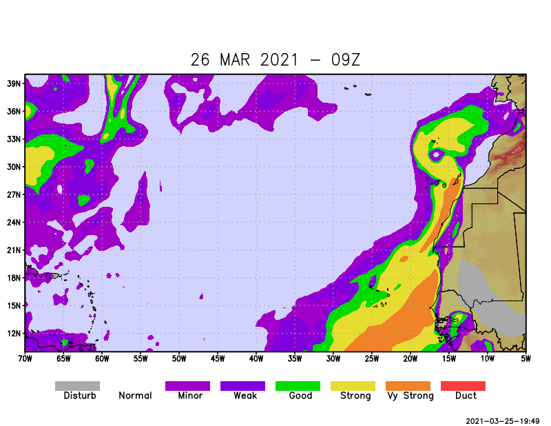
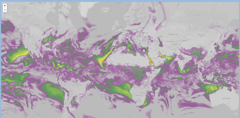
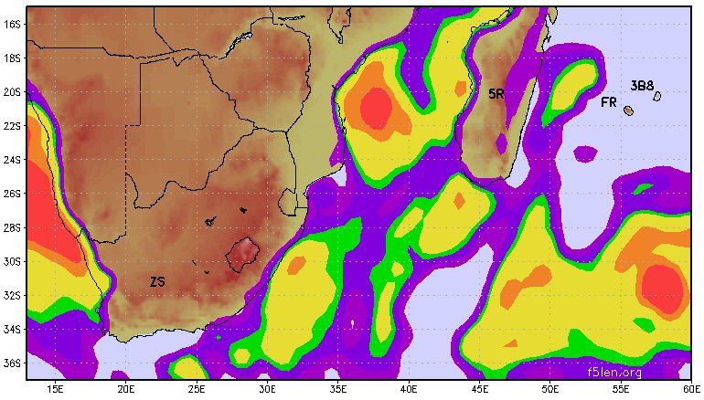
Welcome on my new website dedicated to the tropospheric propagation forecast.
From Wikipedia about tropospheric radio propagation:
Sudden changes in the atmosphere’s vertical moisture content and temperature profiles can on random occasions make microwave and UHF & VHF signals propagate hundreds of kilometers up to about 2,000 kilometers (1,300 mi)—and for ducting mode even farther—beyond the normal radio-horizon. The inversion layer is mostly observed over high pressure regions, but there are several tropospheric weather conditions which create these randomly occurring propagation modes. Inversion layer’s altitude for non-ducting is typically found between 100 meters (300 ft) to about 1 kilometer (3,000 ft) and for ducting about 500 meters to 3 kilometers (1,600 to 10,000 ft), and the duration of the events are typically from several hours up to several days. Higher frequencies experience the most dramatic increase of signal strengths, while on low-VHF and HF the effect is negligible. Propagation path attenuation may be below free-space loss. Some of the lesser inversion types related to warm ground and cooler air moisture content occur regularly at certain times of the year and time of day. A typical example could be the late summer, early morning tropospheric enhancements that bring in signals from distances up to few hundred kilometers for a couple of hours, until undone by the Sun’s warming effect.
Forecast areas are available from the upper menu.


